Humminbird CoastMaster Chart Premium – Australia East
Navigate the East Coast with Confidence
The Humminbird CoastMaster Chart Premium Australia East gives you the tools to safely explore Australia’s diverse eastern coastline. From Queensland’s reefs to New South Wales harbors and Victoria’s bays, it provides accurate mapping tailored for both anglers and boaters.
Detailed and Reliable Mapping
First, you gain access to high-definition depth contours, tides, currents, and navigation aids. Then, the Premium edition adds even more clarity. With satellite overlays, aerial imagery, and shaded relief, the coastline and underwater features appear in greater detail. As a result, you can easily identify channels, reefs, ledges, and prime fishing grounds.
Smooth Performance with VX Technology
In addition, this chart is powered by exclusive VX Technology. This ensures smoother scrolling, faster load times, and sharper detail on your Humminbird display. Therefore, you can move quickly between views without delay. Custom tools such as multiple depth highlights, shallow water shading, and safety level settings further improve your experience, letting you adapt the chart to your style of boating.
Comprehensive East Coast Coverage
Coverage is broad and designed for every type of adventure. Whether you’re chasing fish around the Great Barrier Reef, cruising through Sydney Harbour, or navigating Victorian waters, you’ll have the essential data at your fingertips.
Seamless One-Boat Network Integration
Finally, the CoastMaster Premium connects with the One-Boat Network. It syncs effortlessly with Humminbird sonar, Minn Kota trolling motors, and other compatible devices. This integration creates a complete system that helps you navigate smarter and fish more effectively.
In Summary
The Humminbird CoastMaster Chart Premium Australia East is more than just a map. It is a navigation solution built to enhance safety, boost efficiency, and improve your success on the water.
Key Features:
-
Premium mapping for Australia’s eastern coast
-
HD contours, tides, and currents
-
Satellite overlays and aerial imagery
-
VX Technology for smooth performance
-
Depth highlighting and safety shading
-
One-Boat Network integration
Follow us on Facebook, Instagram and Youtube.
Terms & Conditions | Returns & Exchanges | Privacy Policy
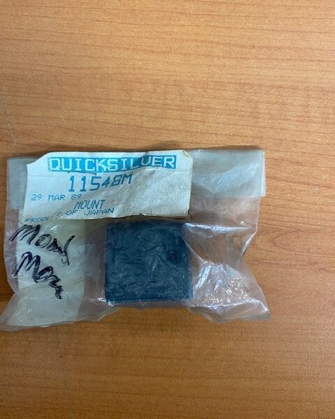 Mercury 6C,6D,8C Mount (11548M)
1 × $12.14
Mercury 6C,6D,8C Mount (11548M)
1 × $12.14  Taco Aluminium Rod Racks
1 × $959.00
Taco Aluminium Rod Racks
1 × $959.00 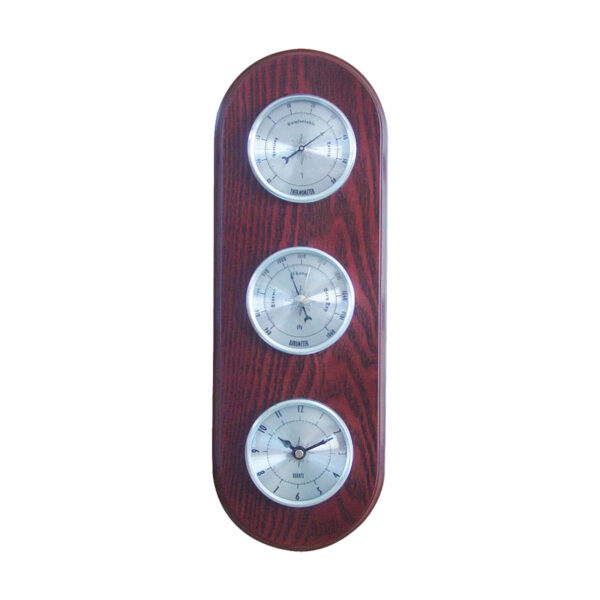 Weather Station
1 × $169.90
Weather Station
1 × $169.90